Day 07
Wednesday, April 9, 2008
Zion NP, UT to Flagstaff, AZ
288 miles
The day dawned breezy and cool with patches of gray clouds rolling over. While packing my camping gear, I continuously switched between jacket and jacket-less. I’d get just cold enough to need the warmth, but quickly start sweating. Once I was off and moving, jacket with liner was just about perfect.
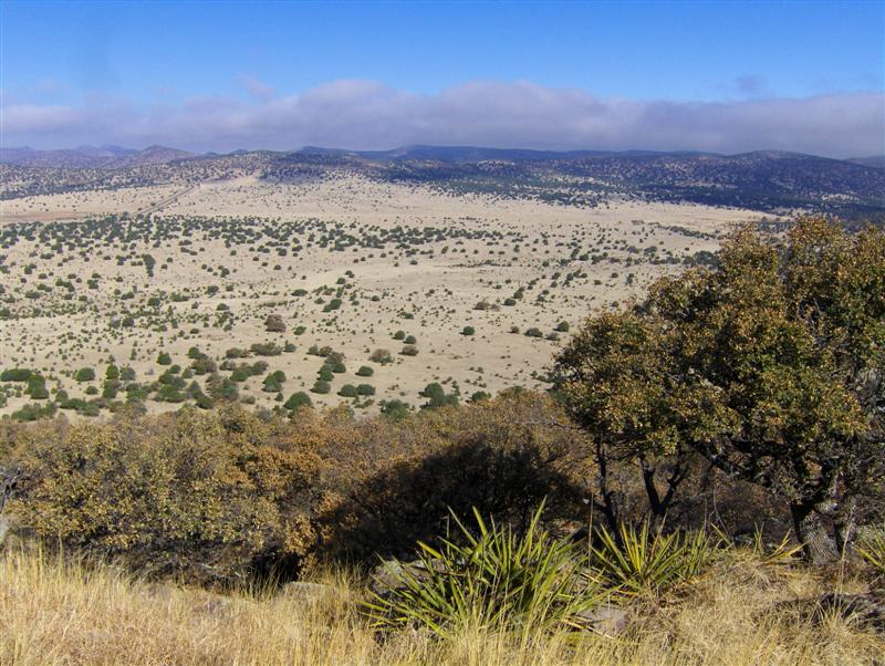
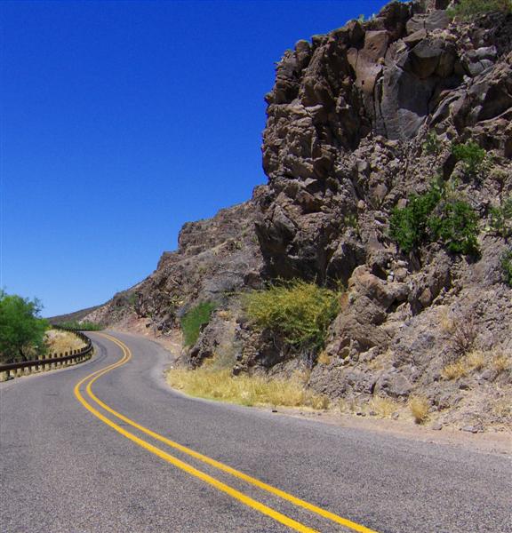
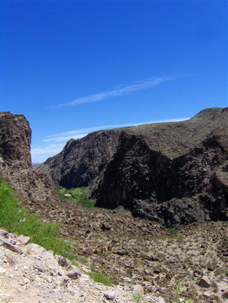
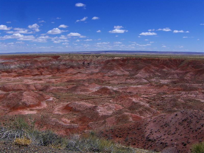
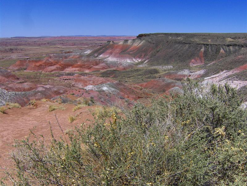
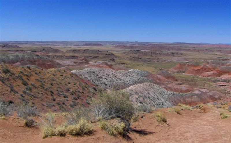
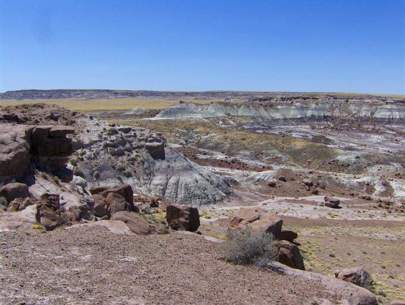
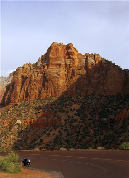
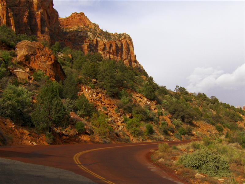
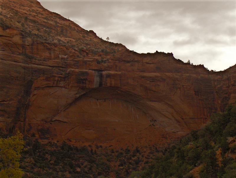
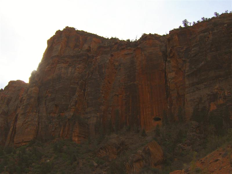
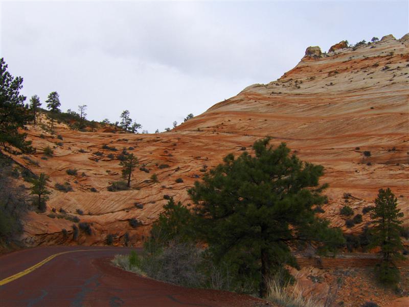
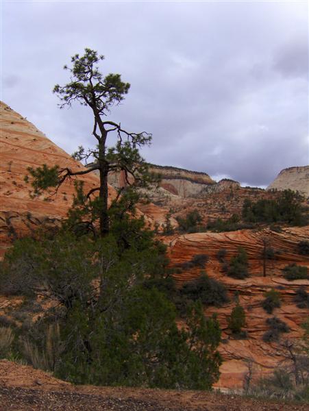
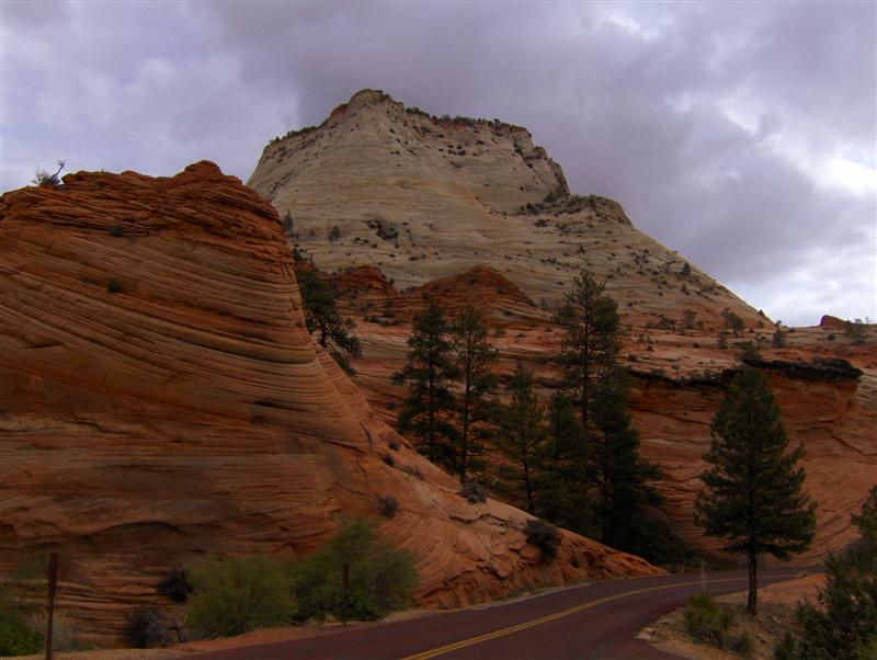
Some shots that don’t really capture the full glory of Zion: (I’m convinced that there is no good time to photograph this end of the canyon… I’ve been here in evening and now morning. The lighting sucks!)
I stopped at an overlook to read about the Zion Park Tunnel. Back in the 1920s this end of the canyon was seen as a dead end. There was only one way into the remote park and it was poorly paved.
In 1927, the NPS started the ambitious project of building a series of switchback up the side of the canyon and then boring a tunnel through solid rock. At the time of completion in 1930, it was the longest tunnel in the United States. The road made Zion more accessible to tourist from the Grand Canyon and Bryce, leading to an explosion in the number of visitors to the barely a decade old park.
Thinking about the history, I felt shivers looking up at the tunnel *windows*, which provide ventilation and were the means to remove excavated rock. I do love seeing and thinking about the debris of history.
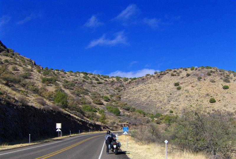
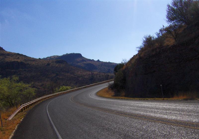
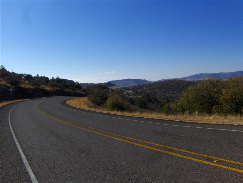
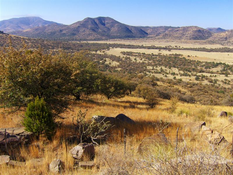
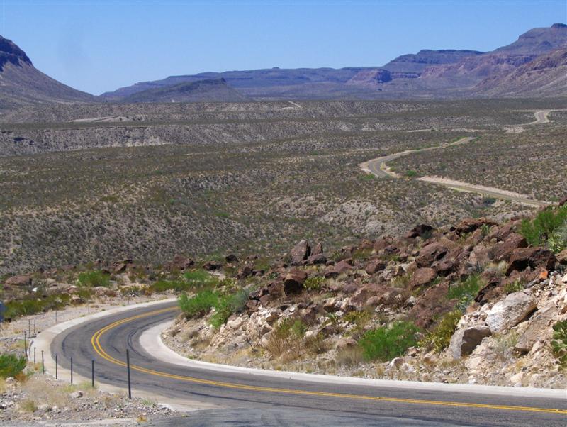
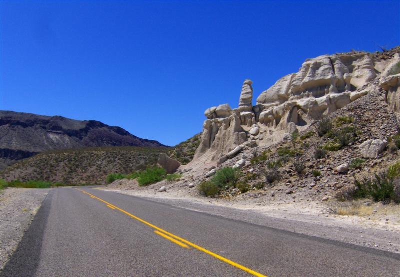
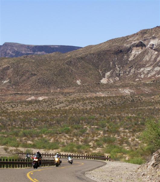
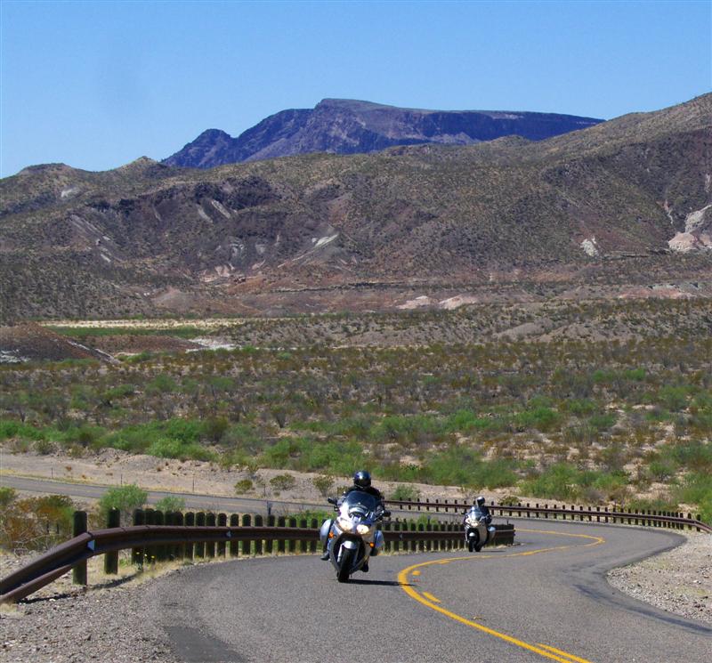
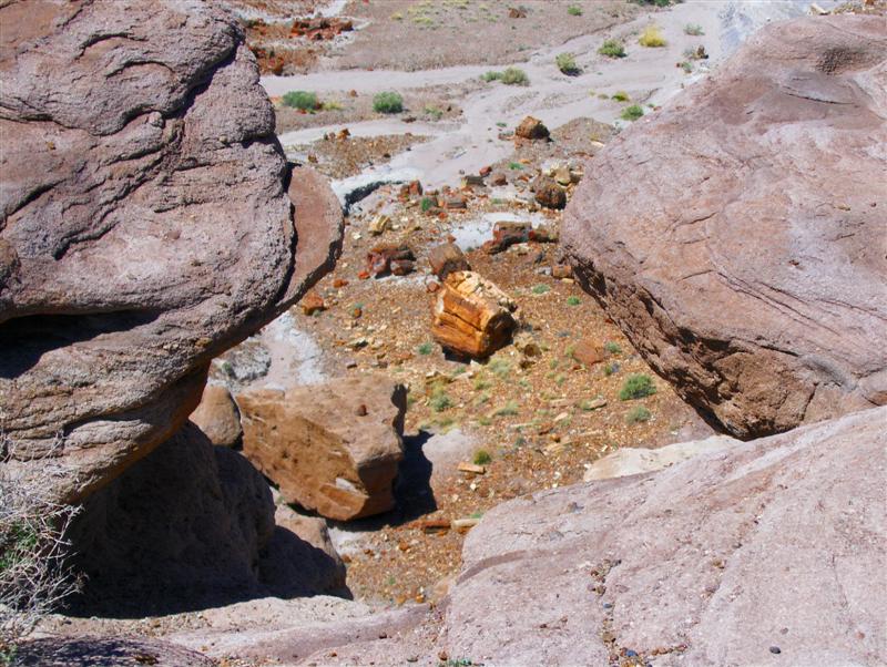
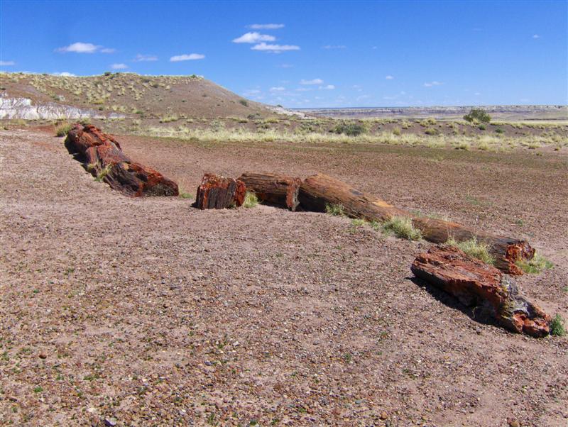
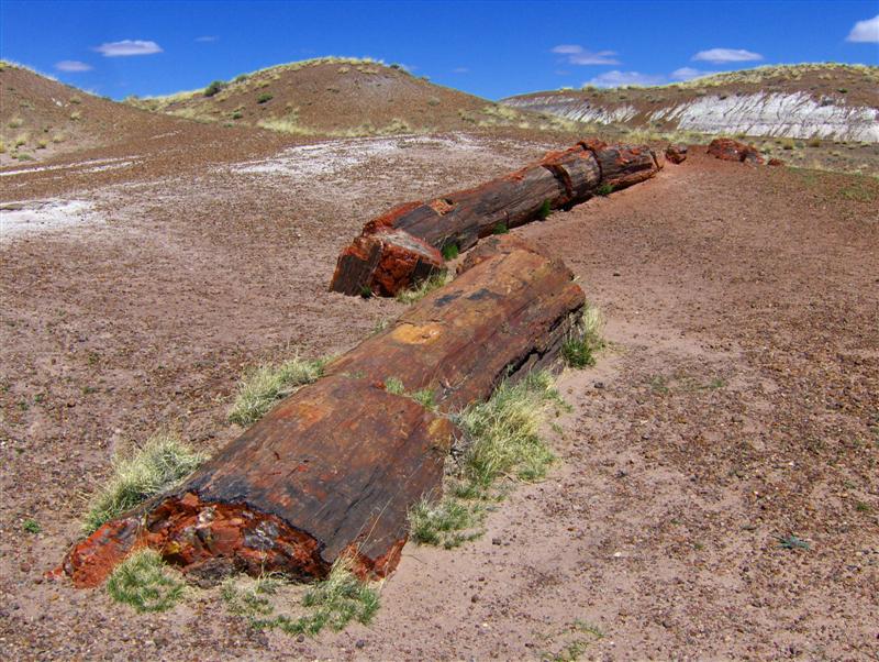
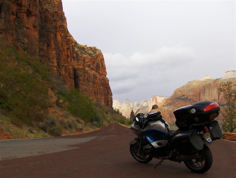
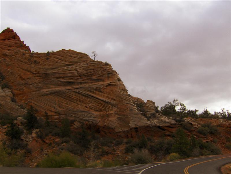
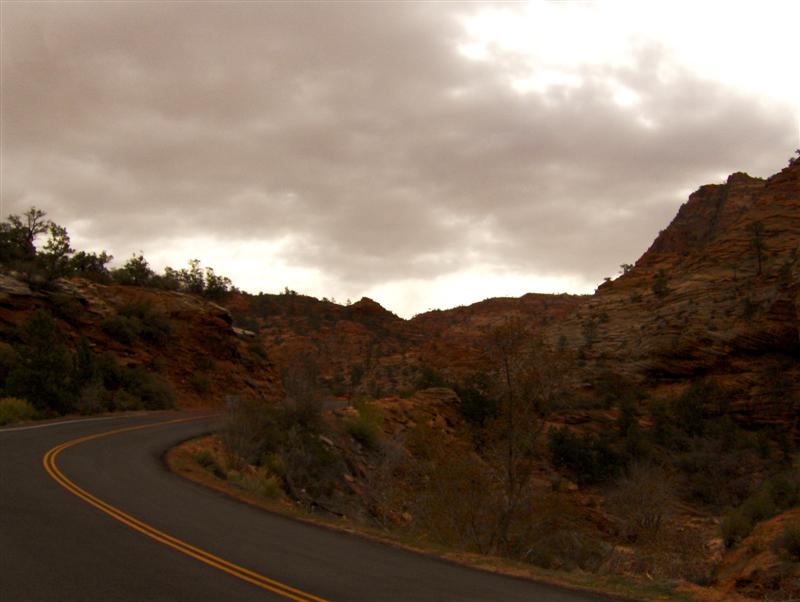
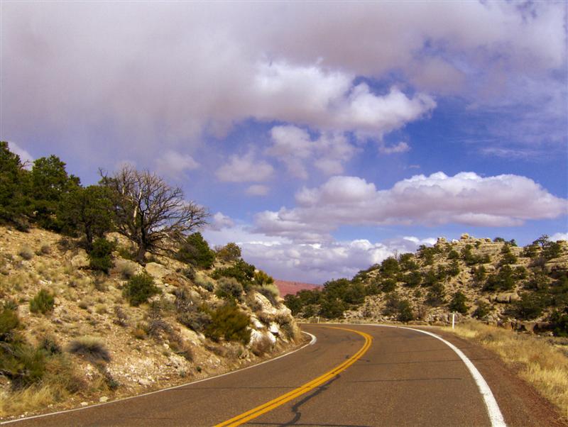
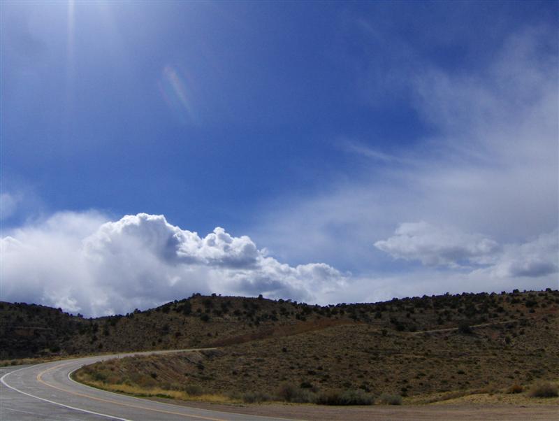
Past the tunnel, I swooped along the Zion-Mt Carmel Road, stopping briefly to look at the various rock formations. I told myself that I would be seeing nothing but rock formations this day and promised to put effort into not becoming indifferent to their beauty.
As I approached Mt Carmel Junction and my turn north, the skies started to become worrying. I hadn’t seen a weather report in days, so it felt prudent to stop, get some gas, and figure out the situation.
I sat down to a very unhealthy breakfast at the Thunderbird Lodge and heard that there was a good chance of snow that day.
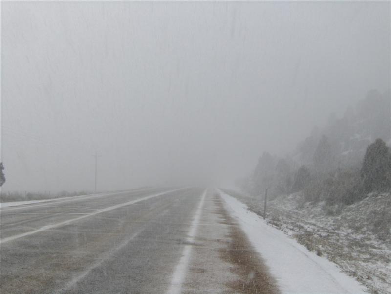
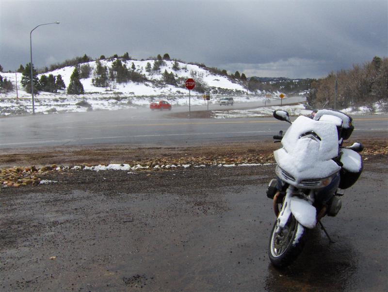
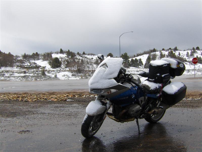
I find it interesting that 20 miles later, even as the first barely perceptible flakes were swirling around me, I wasn’t cold, I had my heated vest running in the background, my heated grips on, balaclava in place, and all liners in. All I was really thinking about was that sickening out-of-control feeling from September 2006 when I felt my bike slide out from under me in the snow.
I told myself that I would be fine as long as I had good visibility and the snow didn’t accumulate on the road. I drove serenely into the storm.
For the first few miles, the snow wasn’t sticking to the road. The lanes were clear and I felt good about traction. Then it got to the point where there were two distinct tire tracks on the asphalt, soon followed by two tracks in the snow. Road conditions were strongly reminding me of the last time I’d stupidly ridden into snow. With my visor starting to fog up and the constant wiping no longer working, I decided it was time to turn around and find a place to hole up until the storm was over. I put on my emergency flashers and, after checking carefully for oncoming traffic, got myself turned around.
I remembered seeing a gas station not far back. It seemed an attainable goal, but my logical reasoning about visibility and traction had failed to account for the idea that snow would also accumulate where I had been. Instead of quickly finding clearer roads, I continued through my frozen nightmare.
Somewhere in there I passed 2 bicyclists…doggedly pedaling along through the storm. I remember marveling at their determination.
In hopes of clearing the ice, I stopped briefly on the side of the road to spray my visor down with defogger. Unable to manage to cleaning more than the bottom half of the interior of the visor, I ended up forced to ride with it cracked open. My head was tilted up to look through the cleared portion and snow flakes, feeling just like small pebbles, continuously battered my neck and chin.
The parking lot at the gas station was seeing a lot of traffic. Every spot in front was taken, so I carefully parked the ST in the front corner and grabbed my tank bag. Chunks of snow dropping off my shoulders, I geared down under cover, just outside the entry. The attendant didn’t have much information about the storm, and I *needed* to know what was happening on radar, so I put my stuff down on a table and called Rebecca.
Cell signal was bad enough that I had to stand outside for most of the call. Rebecca was able to pull up some animated radar. Once I was able to make clear to her exactly where I was, she was able to tell me where the storm was and where it was going.
Bad news. The storm was headed north and east, just like me.
That pretty much clinched it. My red rocks excursion was over. I couldn’t risk running into snow at high altitudes in Bryce or on Utah 12 through the Grand Staircase area.
The storm was moving on at this point and the snow starting to melt. I went out to the bike to dig up my big US road atlas and to document (in a very melted state) the snow coverage on the R1200ST.
Feeling defeated, I headed south. The rest of the day was cold. Temperatures never rose out of the low 50s. I went through a few areas with light flakes, but no more snow like the morning. Constantly eyeing the sky with trepidation, the road seemed less fun and the scenery dull.
In Jacob Lake, AZ, with the skies once again threatening, I stopped for an early dinner. Walking into the bathroom in my geared down state of spandex-ey Underarmour shirt, biker shorts, and knee-high soccer socks with boots, I think my appearance shocked 2 women clad in pioneer style dresses. We eyed each other while waiting for a similarly dressed child to finish in the one stall.
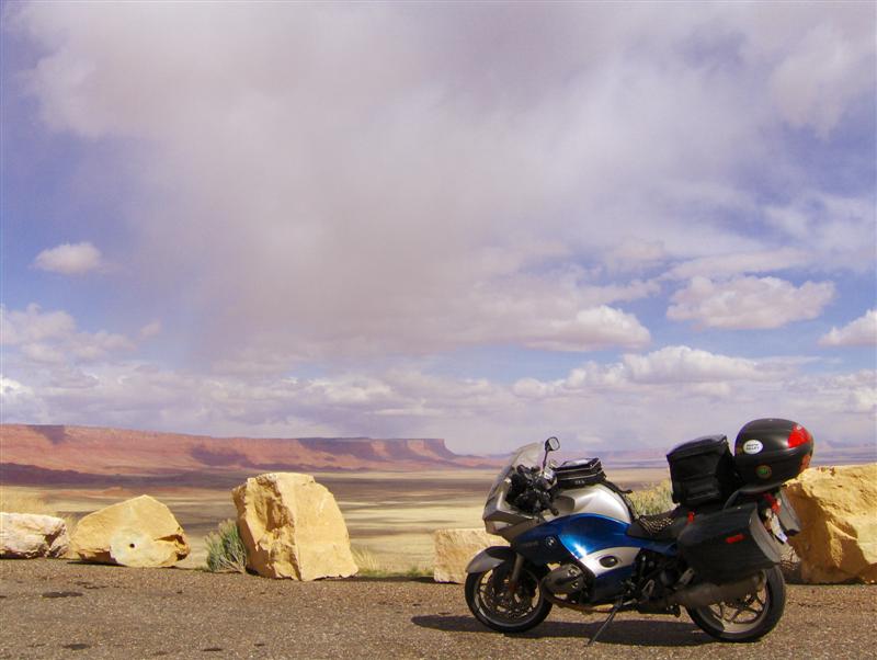
Attempting to tear myself out of my funk of disappointment, I stopped several times for photos in the Vermilion Cliffs area. It was very windy, making for several scary moments wrestling the R1200ST off the side stand.
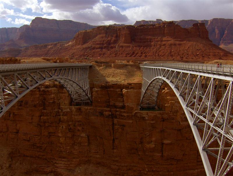
The wind was still a concern later in the day when I stopped at Navaho Bridge, but I ALWAYS brake for history!
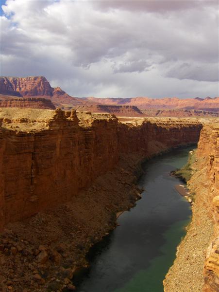
Built in 1929, the Navajo Bridge is one of only 2 crossings of the Colorado River within 600 miles. At the time it was built, the only other way across the river between Utah and Arizona was an unreliable ferry a few miles down river.
In the early 90s it was determined the that bridge couldn’t withstand the increasingly heavy traffic. A new, similarly styled but more modern bridge (shown on the left) was completed in 1995. The original Navajo Bridge (on the right) is a National Historic Civil Engineering Landmark and open only to pedestrian traffic.
I approached Flagstaff on US89, eyeing the clouds cloaking the tops of the San Francisco Peaks, the highest mountain range in Arizona. Light snowflakes began to fall as I entered the city, making my decision to pass by the local KOA very easy.
I was aiming for my Old Reliable, a Motel 6, but the newish looking Travelodge next door was advertising free wifi, a guest laundry, and comparable prices.