April 08 Trip - Day 06
Day 06
Tuesday, April 8, 2008
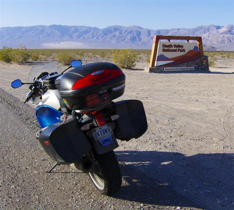
Death Valley NP, CA to Zion NP, UT
294 miles
I only had two waypoints in my route for today: start and end. I wanted to get to Zion National Park as fast as possible to have time to ride the shuttle into Zion canyon (something I missed last time I was there).
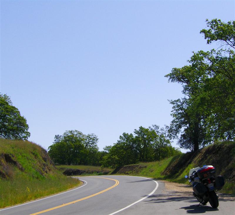
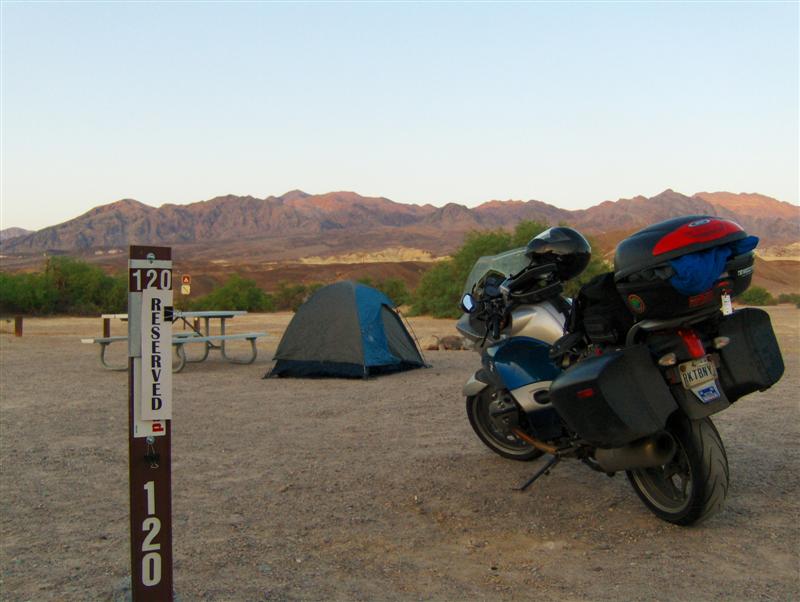
With no showers available in the campground, I had little reason to linger. My tent was down and the R1200ST packed in record time. Breakfast was a granola bar washed down with some water from my Camelbak.
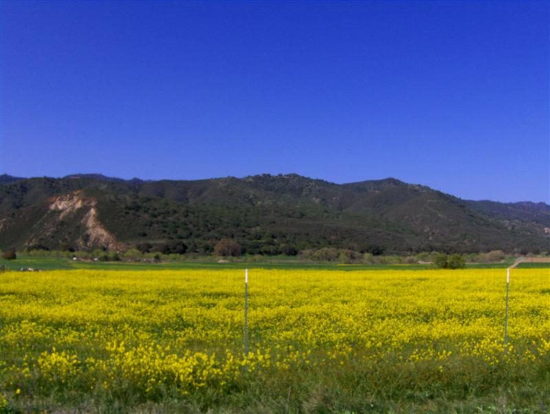
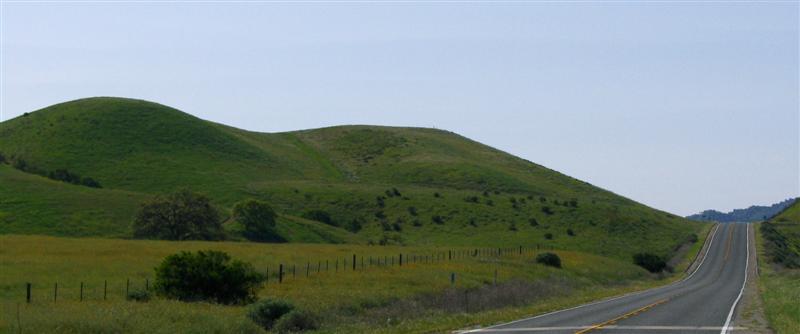
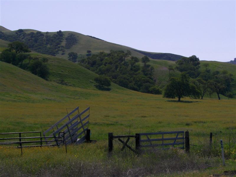
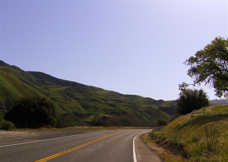
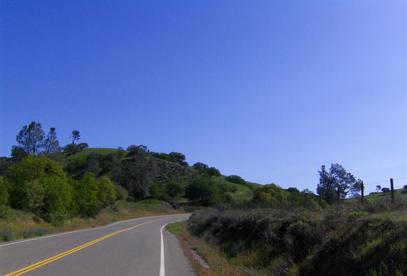
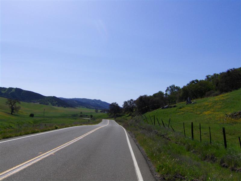
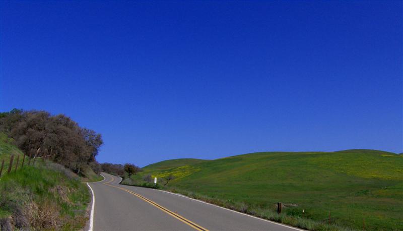
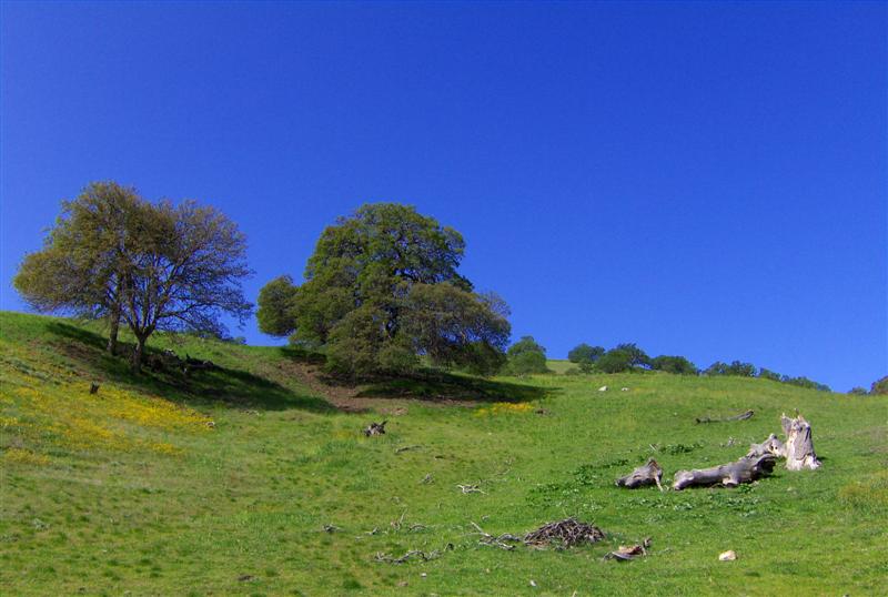
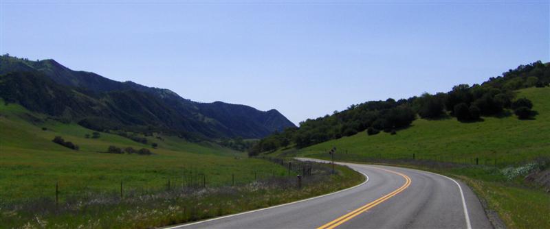
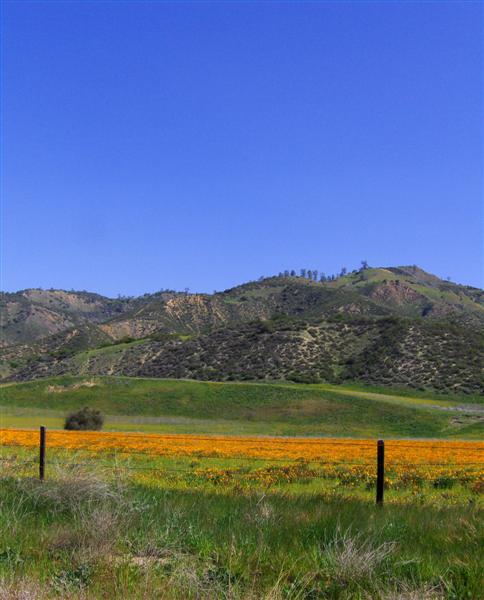
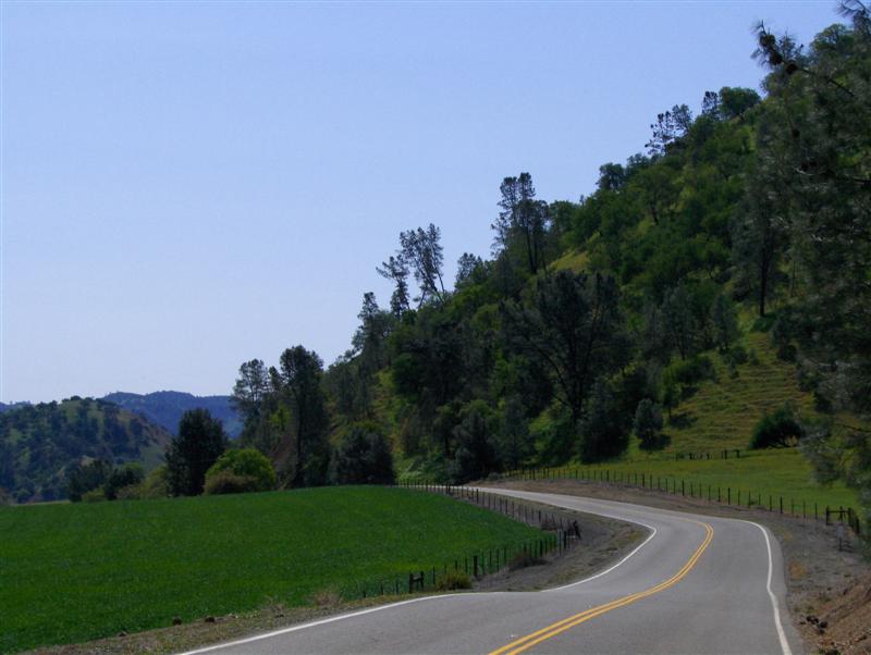
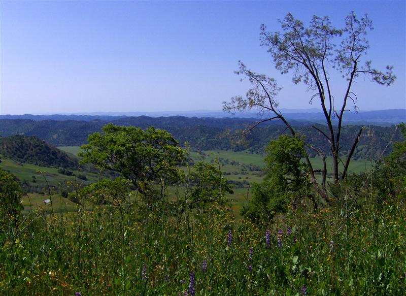
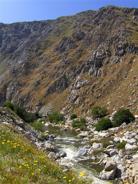
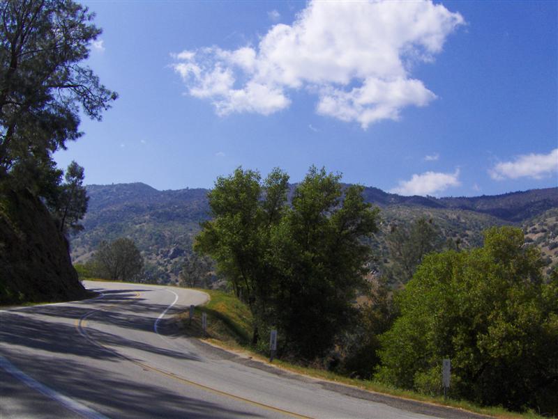
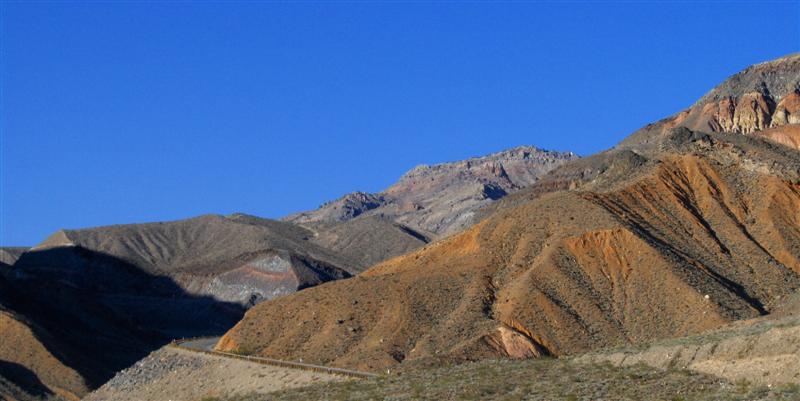
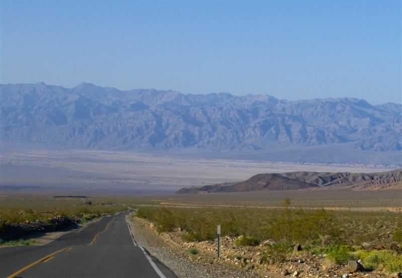
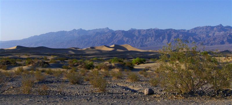
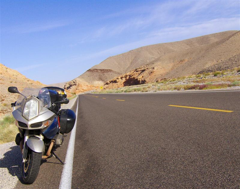
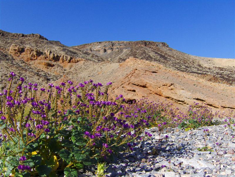
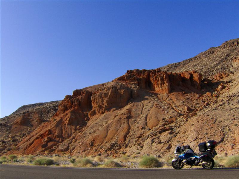
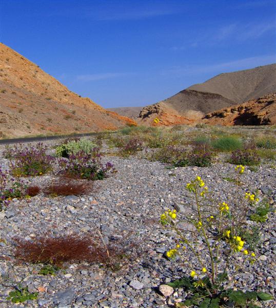
My desire to move quickly warred with the draw of the spectacular scenery I was passing by. Between vista points and desert flowers, I stopped several times on the way out of Death Valley.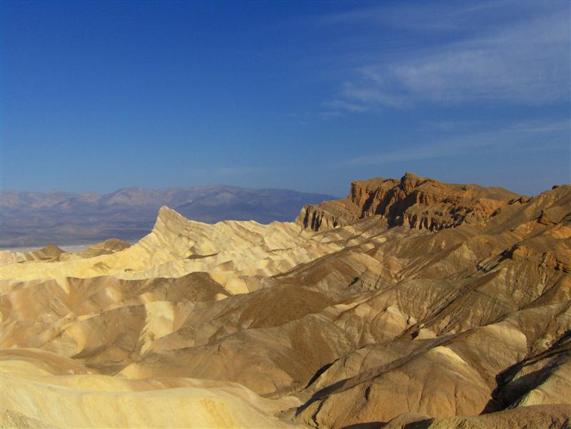
A panoramic shot from one of the vista points is here(2.6mb): http://www.rocketbunny.net/uploads/april08/DVpanos.jpg
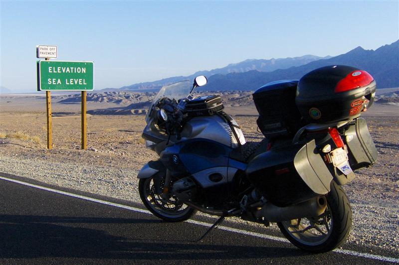
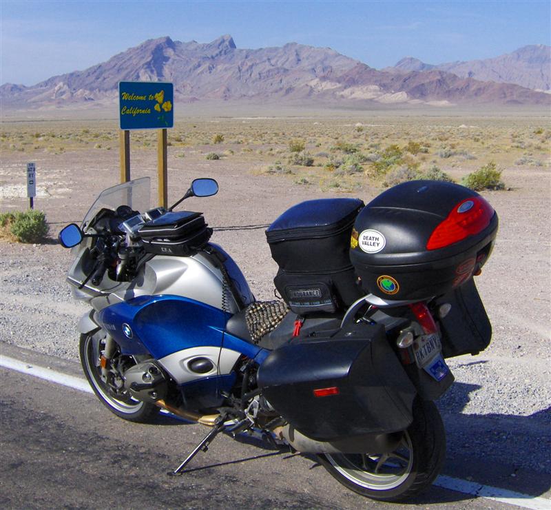
Reaching the border, I realized that I didn’t have a Nevada state line sign in my collection. That situation rectified, I suddenly realized that (odd as it was) I didn’t have a California sign either.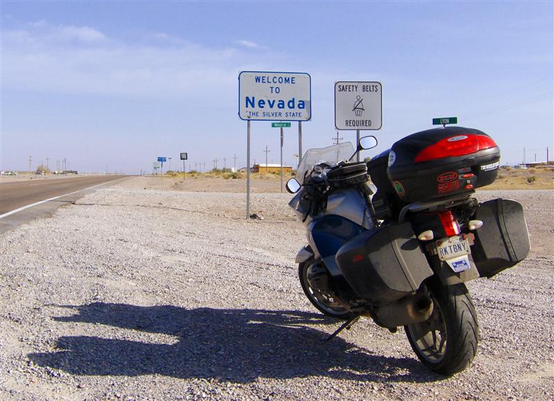
I rolled into Las Vegas on US-95 around lunchtime. An exit services sign advertised a favorite western fast food chain but didn’t give any further direction. I went up the road about a mile before turning around and trying the other direction. Just when I was about to give up and go find something else…. There it was!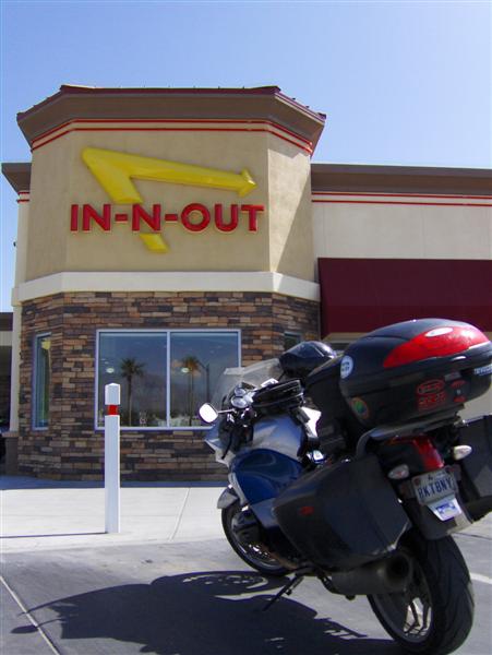
Lunch was a cheeseburger with grilled onions, vanilla milkshake, and French fries that actually looked like they were some relation to potatoes.
When I walked outside after lunch, a woman (probably about my age) was gearing down by a sport bike parked next to the R1200ST. She stopped short, “Now why did I assume that it wouldn’t be another woman?”
I laughed and we chatted for a few minutes before she went in to start her lunch break. It’s rare to find another female motorcyclist riding alone.
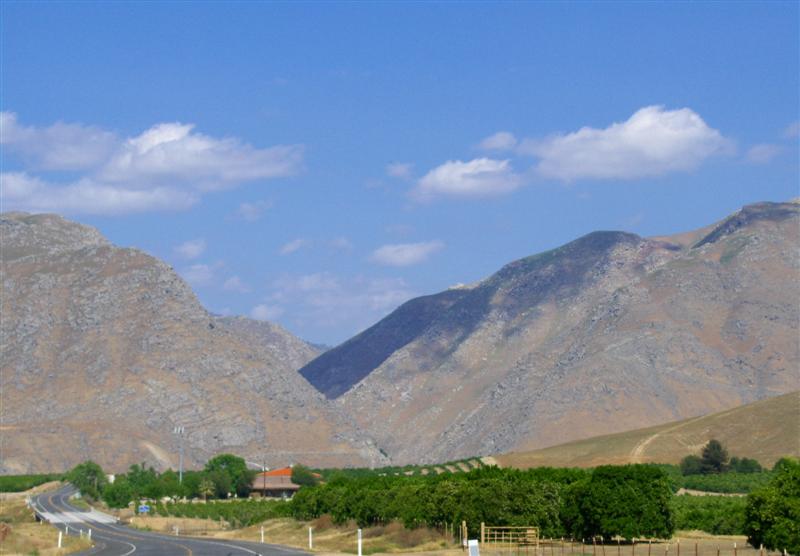
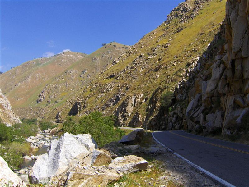
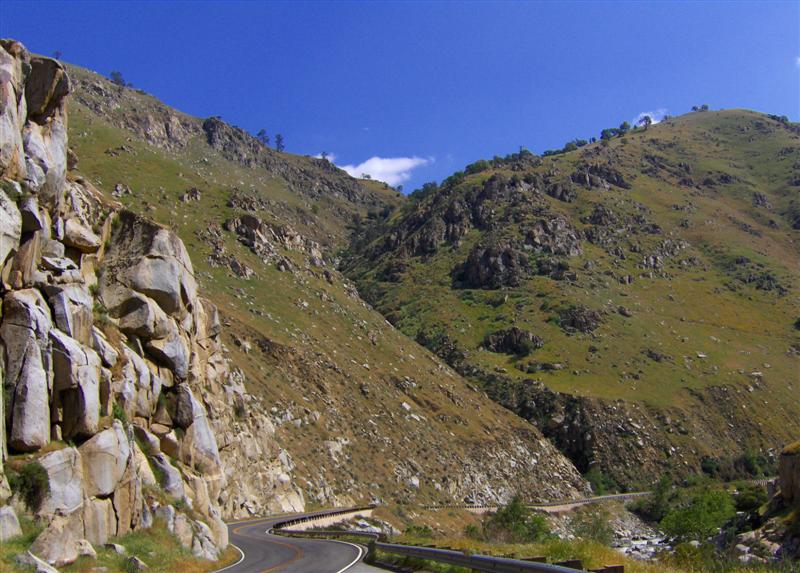
I-15 surprised me with a rather fun ride through the Virgin River Gorge.
I reached Zion National Park around 2:30 pm. 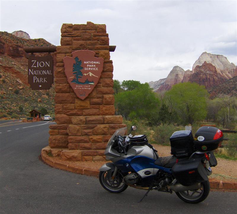
Several years ago the Park Service closed Zion Canyon to automobile traffic (at least during the busy months) and instituted a shuttle system. The shuttles are free and make several stops at vista points and trailheads in the canyon. I came through Zion in July 2005 but didn’t have time to ride the shuttles into the canyon. I didn’t want to miss it this time!
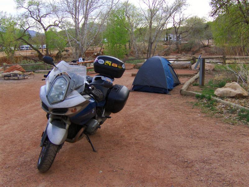
I also didn’t want the R1200ST sitting unattended in a parking lot with all my gear on it for several hours. Upon arriving at Zion I checked into the campground and set up my tent. I pulled as much as I could off the bike and tossed it into the tent. Unfortunately, since there was no way that I was leaving my laptop and other electronics in an unattended tent, I had room only for my helmet in the bags. I boarded the shuttle in full gear (sans helmet) carrying my Camelbak and tank bag.
The canyon is an out-and-back trip. I decided to ride the shuttle to the end of the line to scope out the most promising stops.
I had expected the shuttle to be an ordeal. Instead I found knowledgeable operators who announced quirks of the canyon, quipped anecdotes about the various hiking trails, and pointed out rock climbers on the rock faces. While I would certainly have liked to be in control of my own vehicle, I think I learned much more about the canyon on the shuttle.
This deer was grazing beside the road and barely flinched when the shuttle rolled to a stop about 8 feet away. 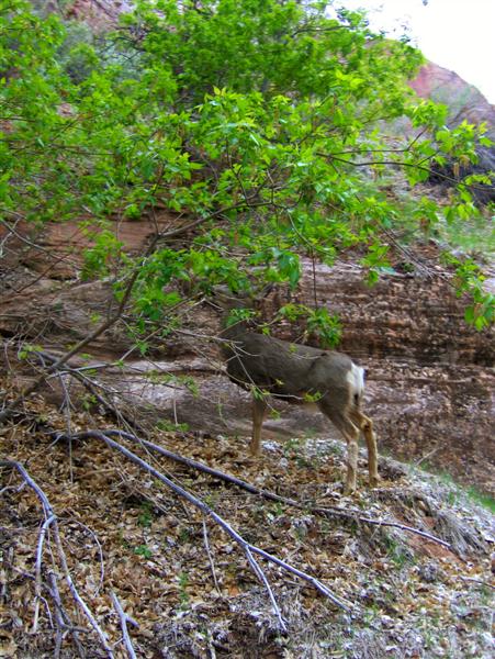
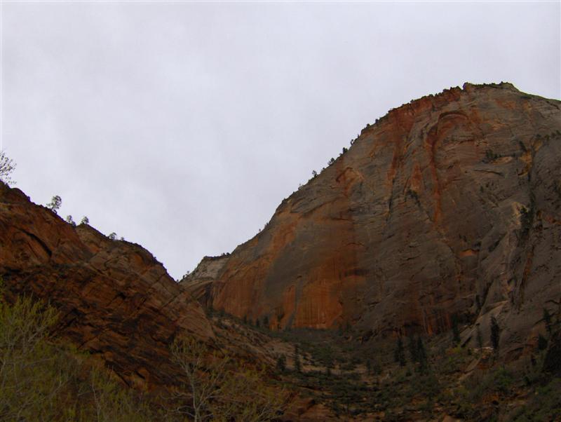
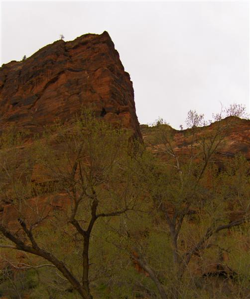
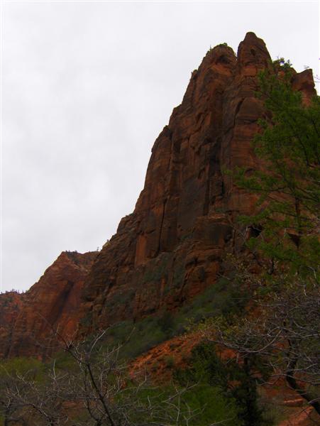
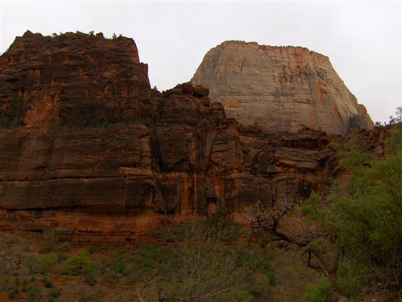
Some shots taken through the open window of the shuttle: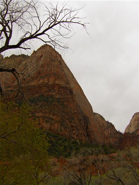
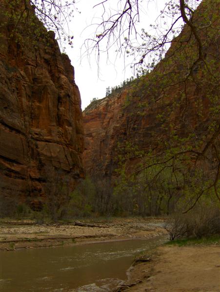
In my bug splattered riding suit, tank bag swinging from the chest strap of my Camelbak, camera in hand, I must have looked like quite a character to the other hikers on the Riverside trail.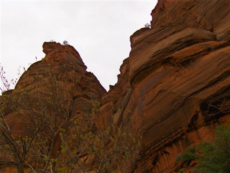
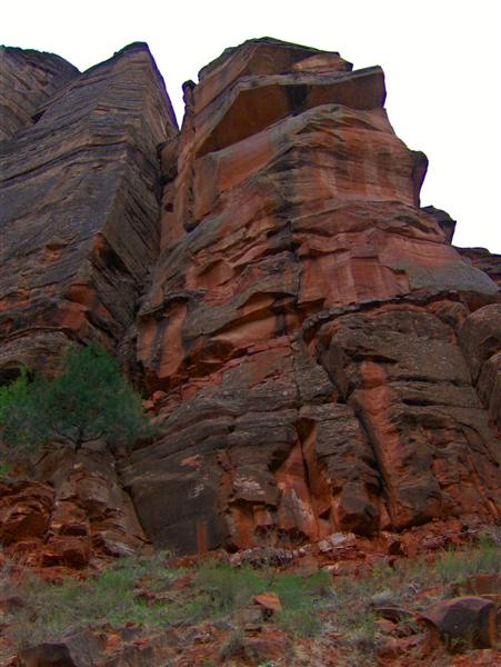
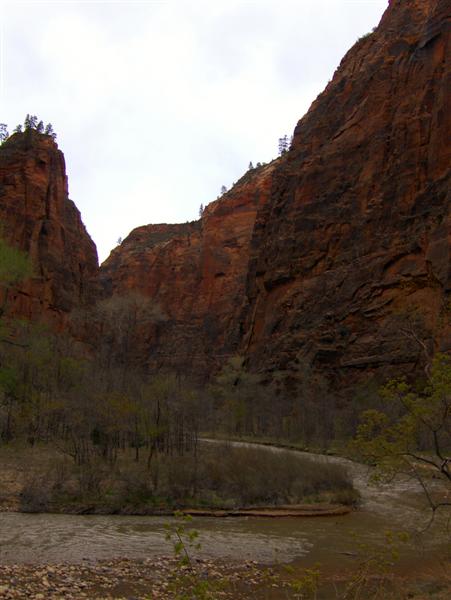
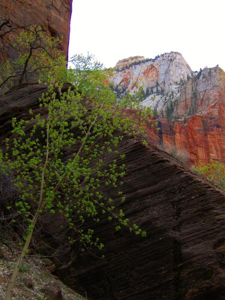
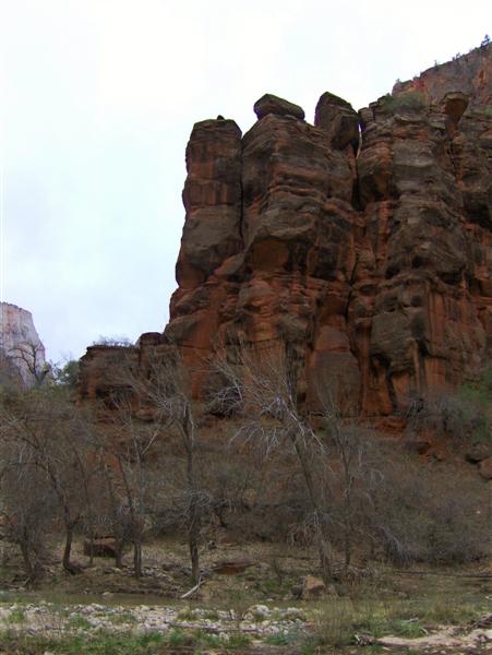
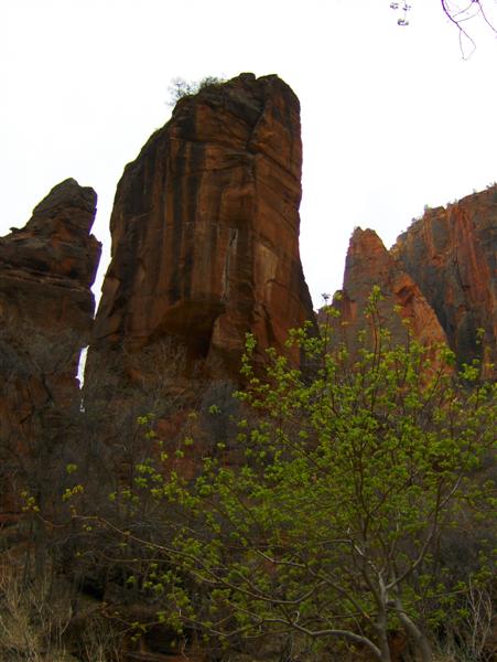
The shuttles run every 6-8 minutes. I got off at the Big Bend stop just for the overlook. By the time the next shuttle arrived, I had taken several pictures, soaked in the scenery, and was ready to move on.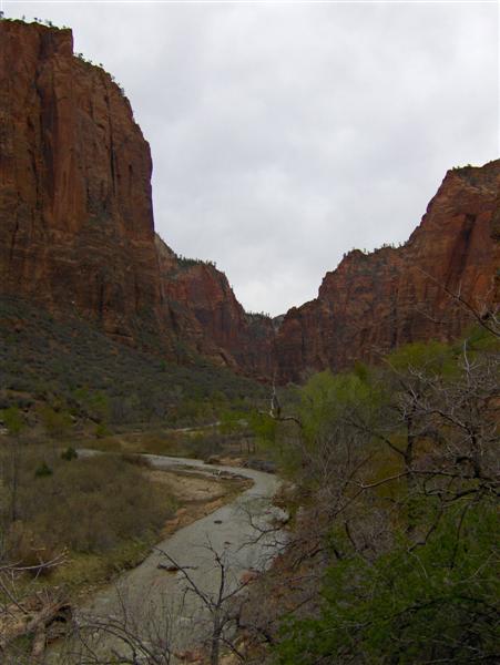
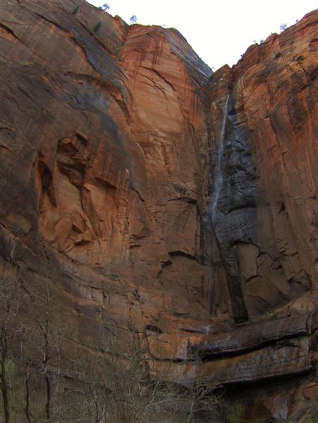
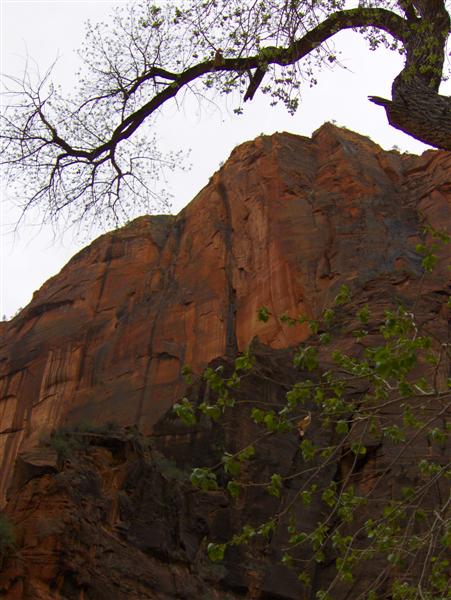
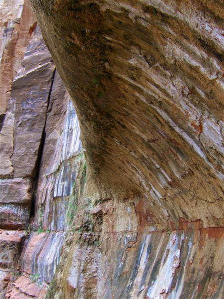
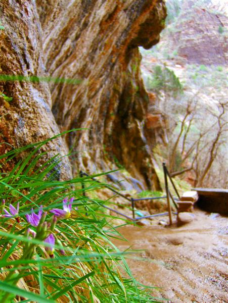
At Weeping Rock, I took the half mile roundtrip hike up a steep trail to the main attraction. Water percolates through the porous rock from the cliffs above and then rains out where the river carved an overhang long ago. The moisture is constant year-round, so a “hanging garden” of lush plant life has taken root. 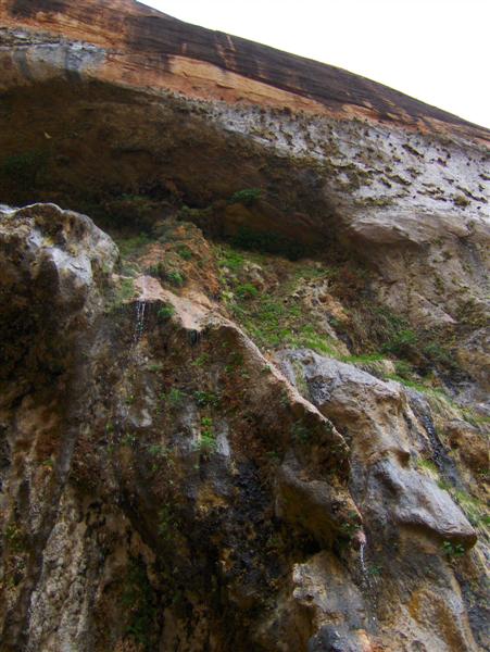
It was getting late when I reboarded the shuttle. I decided that I was about “Zioned-out” for the day. Reaching the visitor’s center, I walked over to the market for some bottled water and iced tea to go with my backpacking food supper.
Back at the campsite, I plugged in my camera and phone for some needed charging. I’ve discovered recently that RV campsites have outlets that can be very useful for tent campers in the age of electronics. I had reserved a riverside campsite for a short RV and set up my tent right next to the power so that I‘d be able to feed wires in through a side door. After dinner I shimmied into my sleeping bag and worked on my laptop late into the night.