
Summer 2007 Tour - Day 02
Day 02
Sunday, June 10, 2007
Sallisaw, OK to Rock Port, MO
445 miles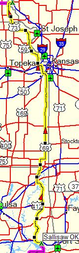
I was backtracking down the highway in Talequah, OK, happily sated from my $2.19 McDonalds Fruit’n’Yogurt parfait (160 calories!), small (but huge!) coffee, and the accomplishment of 50 miles before breakfast, when I saw it.
A Starbucks.
Somehow I had missed it, being completely focused on my goal of morning yogurt, coffee, and the known reliable supplier of such. I briefly lamented for the tall soy caramel mocha (no whip) and maple scone that could have been. Then my wallet punched me in the gut and reminded me that I had sixteen days on the road to budget for. *sigh*
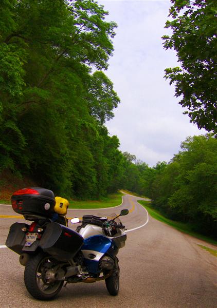
All was forgotten soon after I turned north on Scenic OK10. Half river canyon (along the Illinois River), half foothills romp, I was very happy as I swooped along the road.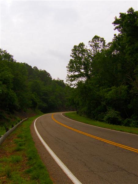
The idyllic countryside felt far more “Arkansas” than “Oklahoma” to me. I guess my perceptions of the Sooner State need to change.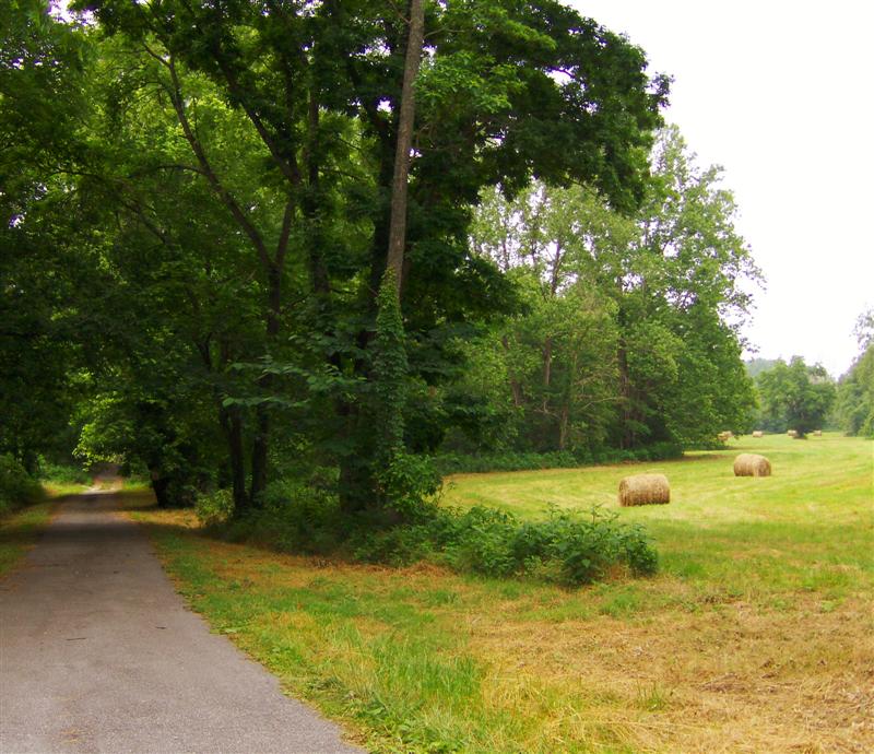
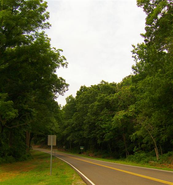
Dropping out of the hills, I found myself back on US59. I think it might be the newest of my favorite roads.
Back when I was living in California, few roads made me happier than driving east on I-80. It wasn’t that I particularly love interstate riding. It’s the possibilities… knowing that I’m on a road with the potential to take me clear across the country. When driving on I-80, I was always thinking “What if….. I keep going…? What adventures lie ahead?”
With this trip, I’ve really realized that little US59 is one of those roads close to home with a lot of traveling potential.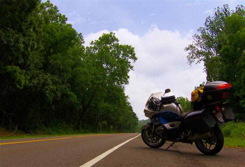
Approaching the state line, some weird sand dune formations caught my eye. I was in Picher, OK and the dunes were actually lead-contaminated piles of mining waste. Billboards all over town reminded people to wash their hands frequently and avoid lead contamination. Picher is a Superfund site, and with federal buyouts taking place, it’s only a matter of time before this early 20th century mining boomtown becomes a ghost town.
The creek alongside the road was pretty, but I wouldn’t want to touch it.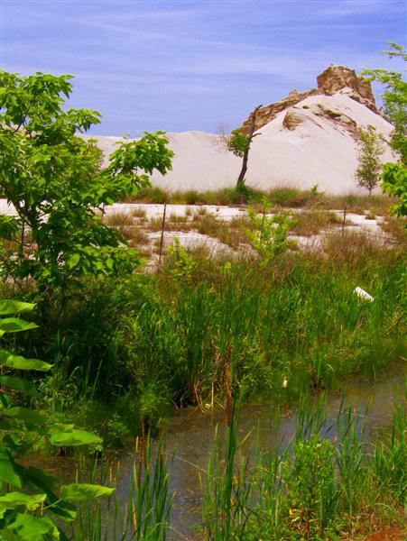
I had to do a u-turn to catch the state line sign just outside Picher.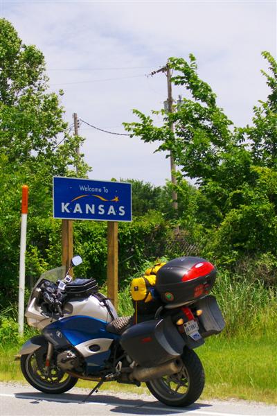
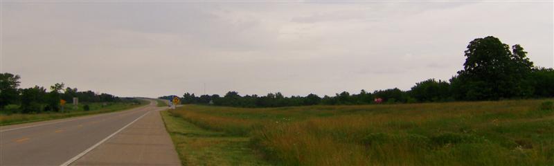
On a nice day, I would consider US69 through eastern Kansas a bad choice. The road was arrow-straight and scenic in the way that an interstate is scenic. Fortunately I was in *make time* mode most of the way. Dark clouds loomed to the west and while I managed to outrun the thunderstorms, I still got pretty wet near Ft Scott, KS.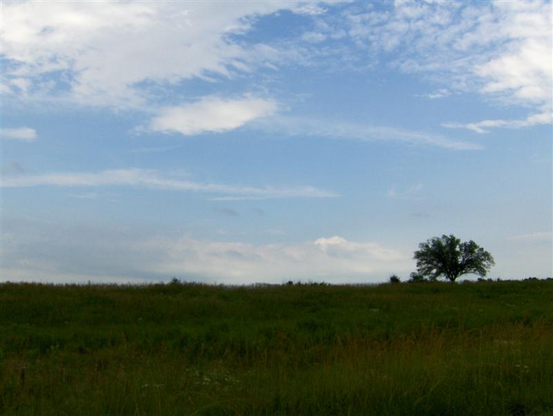
I mentally waved at my friends on the I35 corridor (from Oklahoma City to San Antonio) as I passed through Kansas City.
Leaving the KC area, I passed the “Big Top”, the infamous United States Penitentiary in Leavenworth, KS. Completed in the 1920s, it is most well known for housing Prohibition-era gangsters and serial killers in it’s maximum security cellblocks. Today Leavenworth is a medium security federal prison.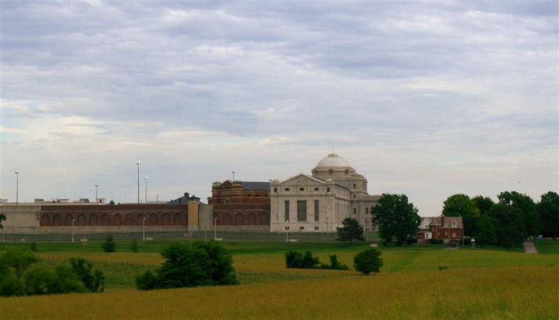
For some reason, someone thought it was a good idea to put a small herd of bison between the Leavenworth historical marker overlook and the prison. Most of them were hidden in the grassy field, but this guy was very interested in the parking lot.
I dunno…. Do you see a resemblance?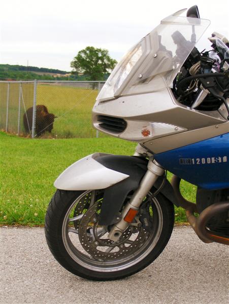
A farm just outside Atchison, KS caught my eye.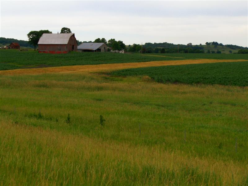
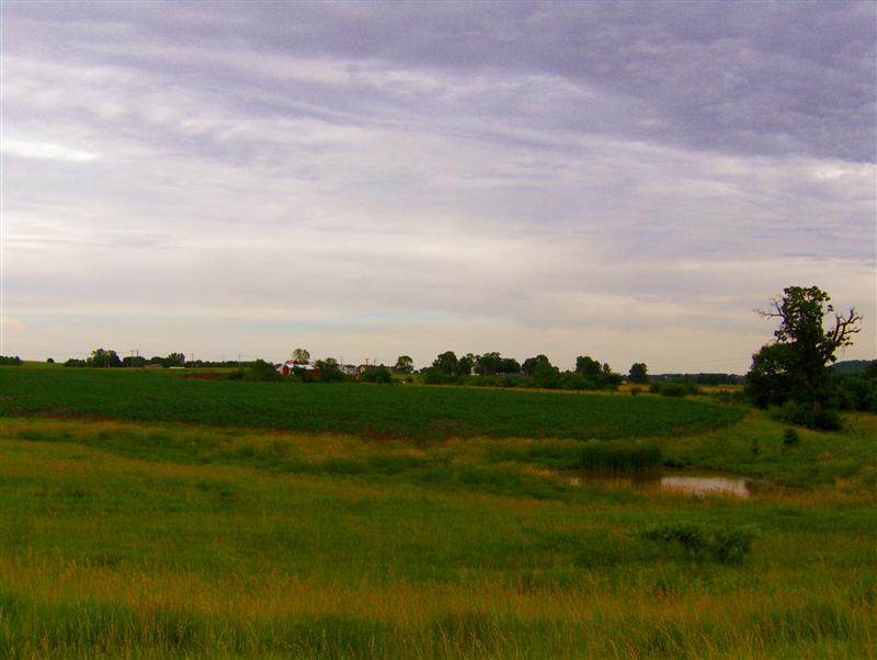
I approached Nebraska on KS7, the Glacial Hills Scenic byway. I was impressed by the relative twistiness… it totally didn’t feel like I was in Kansas anymore. (hehe)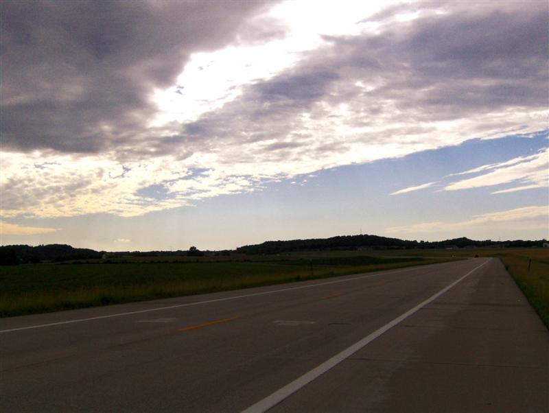
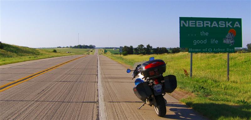
Soon after entering Nebraska, I crossed the (signless!) Missouri River and bedded down for the night near Interstate 29 in Rock Port, MO. I’m perfectly positioned to cross Nebraska tomorrow.


2 comments:
Hopefully blue skies and green fields await you as you make your journey across Nebraska today!!
Found your blog via link from MOA site. Where is this adventure taking you?
Post a Comment